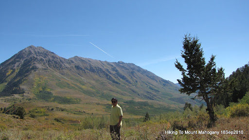
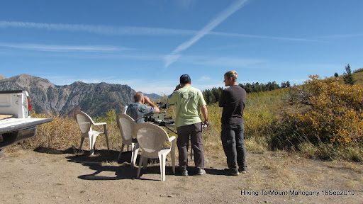
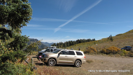
18 September 2010. We drove to the Trailhead at (40° 25' 15.73" N 111° 41' 29.31" W). Spencer and me hiked to the top of the Mount Mahogany.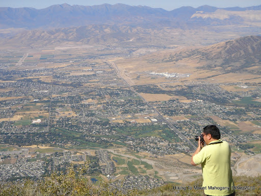
me, at the top of Mount Mahogany.
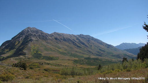
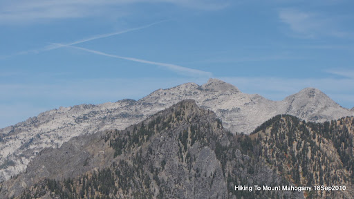
Looking at Lone Peak Summit, from the top of Mount Mahogany.
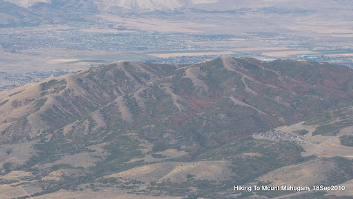
Looking at the Point Mountains, from the top of Mount Mahogany.
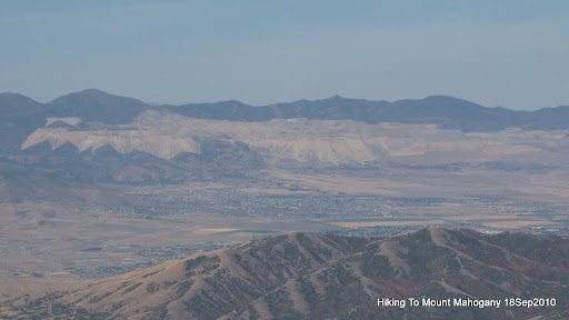
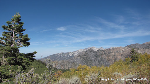
Looking at the Copper Mine, from the top of Mount Mahogany.

Looking at the LDS Mount Timpanogos Temple, from the top of Mount Mahogany.

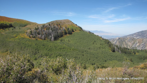
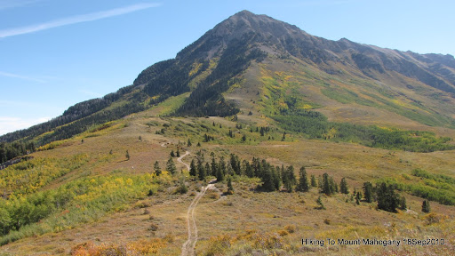
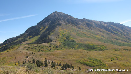
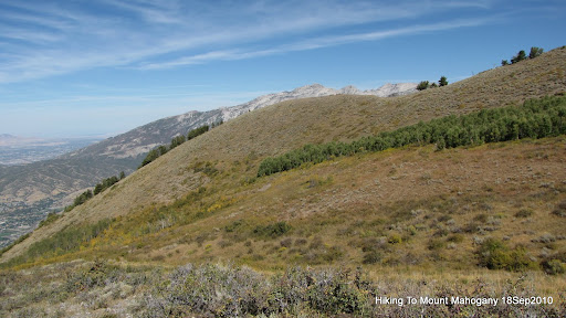
Mount Mahogany.

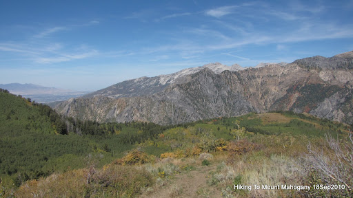
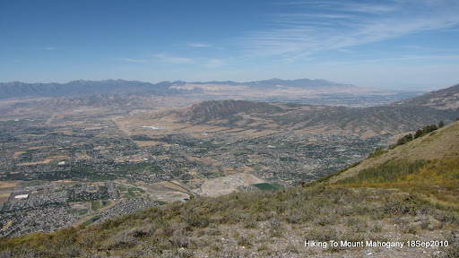
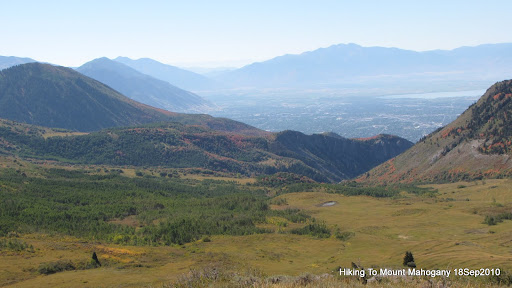
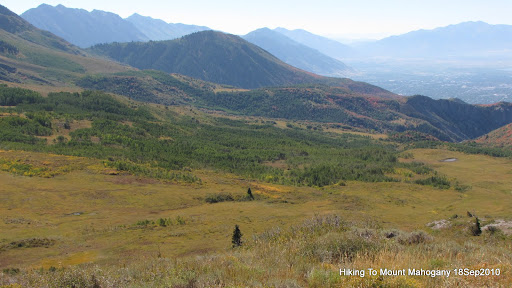
Looking at north east corner of Utah County, from the top of Mount Mahogany.
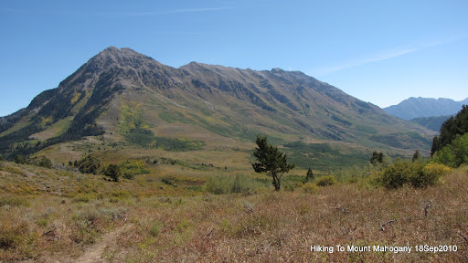
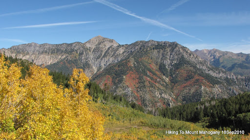
Mount Timpanogos.
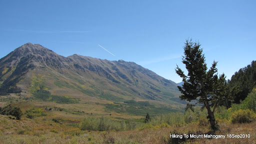
Mount Timpanogos and Sagebrush Flat.