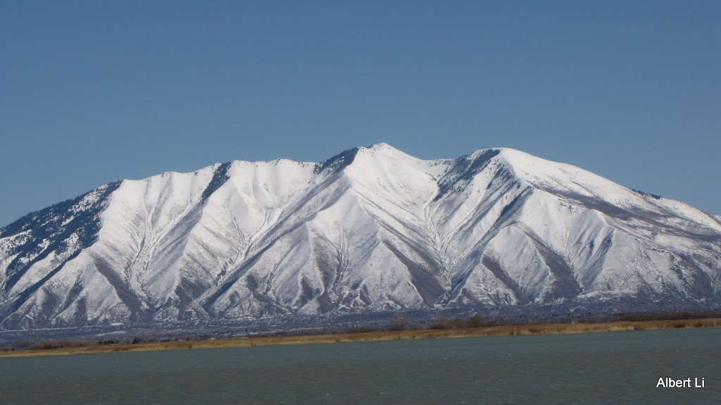
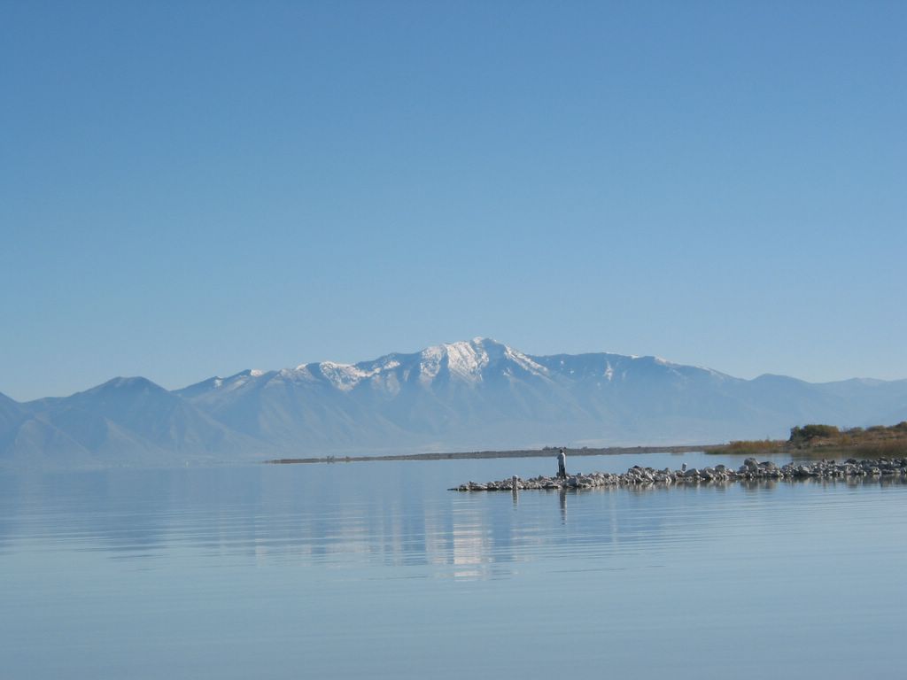
March 8th, After Sunday lunch, we visited the Lincoln Beach and driving through Gonola Utah.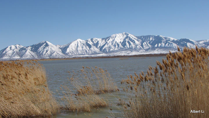 Snow covered Mount Nebo
 Looks like a lot of floating iceberg. Background town is Saratoga Springs.
 Mount Timpanogos and a little clouds...
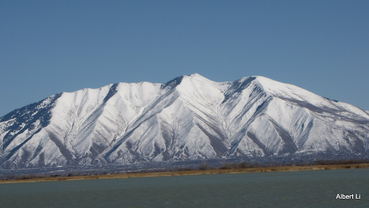 The mountain over Mapleton, called Spanish Fork Peak?
 Mount Nebo, a close look.
 Mount Timpanogos, Mount Mahogany, and the Utah Lake.
 Clara and Mount Timpanogos...
 Lily and Noah, Lincoln Beach Harbor at Utah Lake.
 Margaret and Clara walked around...
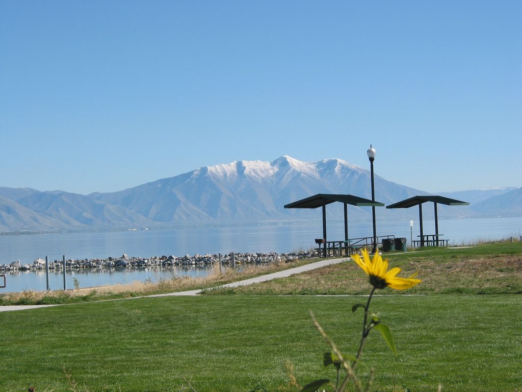
 Lincoln Beach Harbor Park, boat launch point...
 About a mile driving along the lake shore, looking Mount Timpanogos...
  Lone Peak and Mount Mahogany...
 Utah Lake Shore, south side...
 Looking a mount over Springville and Mapleton, from a Utah Lake harbor. October 22nd, 2006.
 We had a desire to see the another side lakeshore of Utah Lake. Last Sunday, we drove through patial of SR #68, to the middle of Saratoga Springs and Elberta. This is Mount Timpanogos, seen from a harbor (location shown as the map below). October 22nd, 2006.
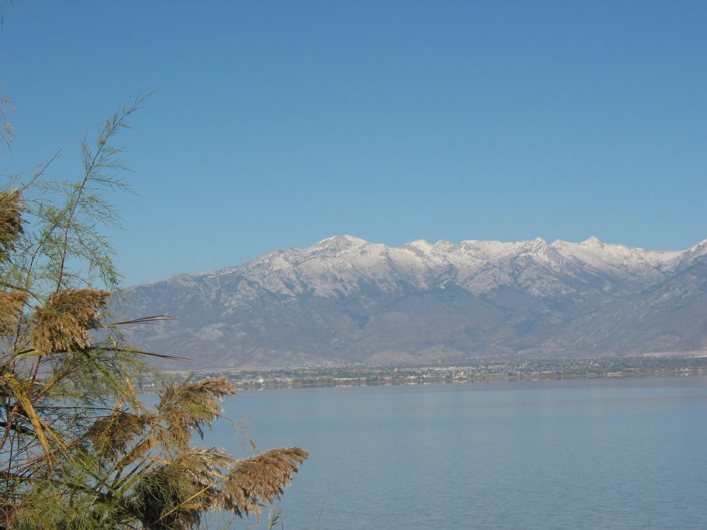
  This is Lone Peak and mouth of American Fork Canyon, seen from a harbor (location shown as the map below). October 22nd, 2006.
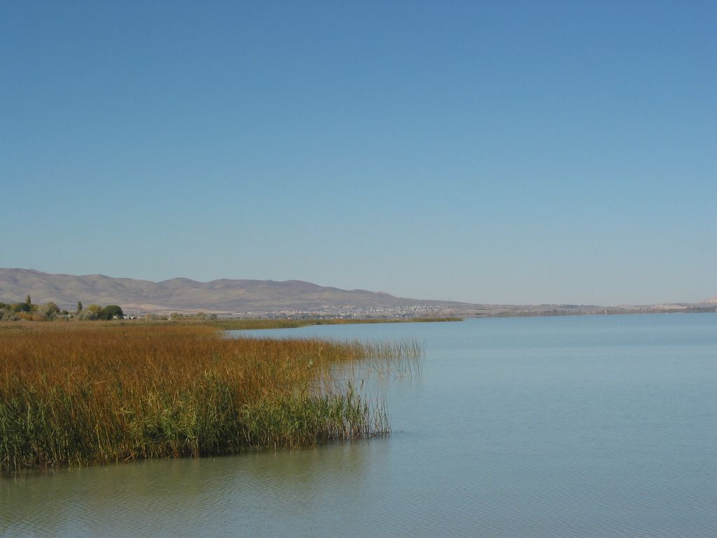
  Looking Saratoga Springs, from a harbor (location shown as the map below). October 22nd, 2006.
 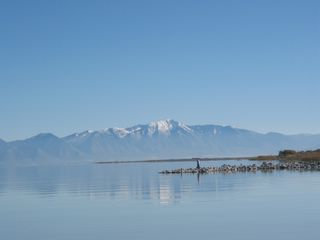 Looking Mount Nebo, from a Utah Lake harbor. October 22nd, 2006.
 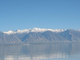 Looking Y Mount in Provo, from a Utah Lake harbor. October 22nd, 2006.
  The map of a Utah Lake harbor, between Saratoga Springs and Elberta, along SR #68. October 22nd, 2006.