Looking a mount over Springville and Mapleton, from a Utah Lake harbor. October 22nd, 2006.


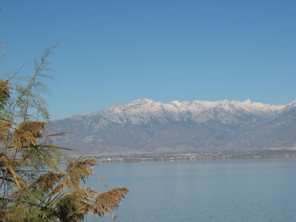
We had a desire to see the another side lakeshore of Utah Lake. Last Sunday, we drove through patial of SR #68, to the middle of Saratoga Springs and Elberta. This is Mount Timpanogos, seen from a harbor (location shown as the map below). October 22nd, 2006.
This is Lone Peak and mouth of American Fork Canyon, seen from a harbor (location shown as the map below). October 22nd, 2006.
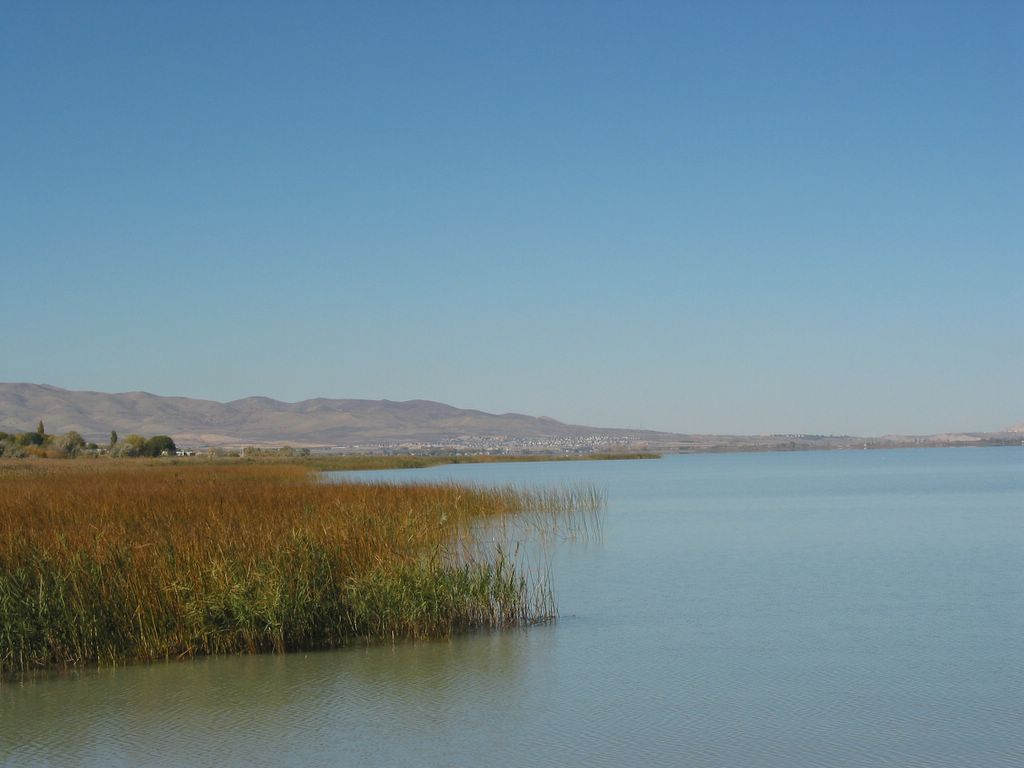
Looking Saratoga Springs, from a harbor (location shown as the map below). October 22nd, 2006.
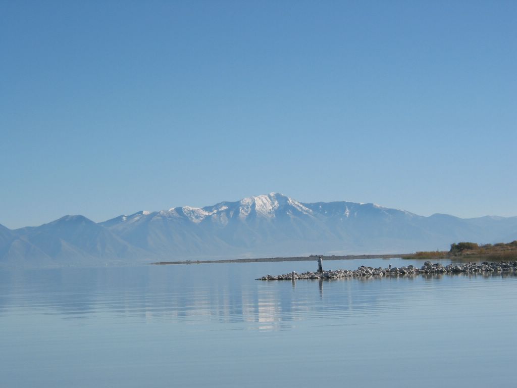
Looking Mount Nebo, from a Utah Lake harbor. October 22nd, 2006.

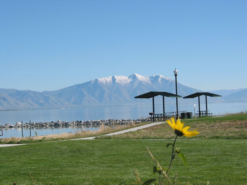
Looking Y Mount in Provo, from a Utah Lake harbor. October 22nd, 2006.

The map of a Utah Lake harbor, between Saratoga Springs and Elberta, along SR #68. October 22nd, 2006.
No comments:
Post a Comment