Showing posts with label Mount Mahogany. Show all posts

Saturday, September 18, 2010

Hiking To Mount Mahogany (4 of 4)

18 September 2010. We drove to the Trailhead at (40° 25' 15.73" N 111° 41' 29.31" W). Spencer and me hiked to the top of the Mount Mahogany.


Me, and the Mount Timpanogos and Sagebrush Flat.

Mount Mahogany.

Mount Timpanogos and Sagebrush Flat.

The Lone Peak Summit.

The Lone Peak Summit.

The Lone Peak Summit.

Mount Mahogany East Slope.

Clara pointed a mountain rat hole for me. (near 40° 25' 15.73" N 111° 41' 29.31" W)

Hiking To Mount Mahogany (3 of 4)

18 September 2010. We drove to the Trailhead at (40° 25' 15.73" N 111° 41' 29.31" W). Spencer and me hiked to the top of the Mount Mahogany.


me, at the top of Mount Mahogany.

Looking at Lone Peak Summit, from the top of Mount Mahogany.

Looking at the Point Mountains, from the top of Mount Mahogany.

Looking at the Copper Mine, from the top of Mount Mahogany.

Looking at the LDS Mount Timpanogos Temple, from the top of Mount Mahogany.

Mount Mahogany.

Looking at north east corner of Utah County, from the top of Mount Mahogany.

Mount Timpanogos.

Mount Timpanogos and Sagebrush Flat.

Hiking To Mount Mahogany (2 of 4)

18 September 2010. We drove to the Trailhead at (40° 25' 15.73" N 111° 41' 29.31" W). Spencer and me hiked to the top of the Mount Mahogany.


Looking Salt Lake Valley.

Sagebrush Flat.

Mount Mahogany, east slope.

Looking Lone Peak Summit.

Mount Timpanogos.

Mount Mahogany.

Sagebrush Flat.

Looking at our neighborhood, from the top of Mount Mahogany.

Looking at north east corner of Utah County, from the top of Mount Mahogany.

Hiking To Mount Mahogany (1 of 4)

18 September 2010. We drove to the Trailhead at (40° 25' 15.73" N 111° 41' 29.31" W). Spencer and me hiked to the top of the Mount Mahogany.


Picture taken at 40° 25' 44.69" N 111° 40' 14.71" W

Picture taken at 40° 25' 44.69" N 111° 40' 14.71" W

Someones were shooting there. 40° 25' 15.73" N 111° 41' 29.31" W

Car parked at 40° 25' 15.73" N 111° 41' 29.31" W

Looking Lone Peak Summit.

Sagebrush Flat.

North end of Mount Timpanogos.
North end of Mount Timpanogos.

Sagebrush Flat and Southern Utah Valley.

Saturday, April 22, 2006

Hiking Mount Mahogany


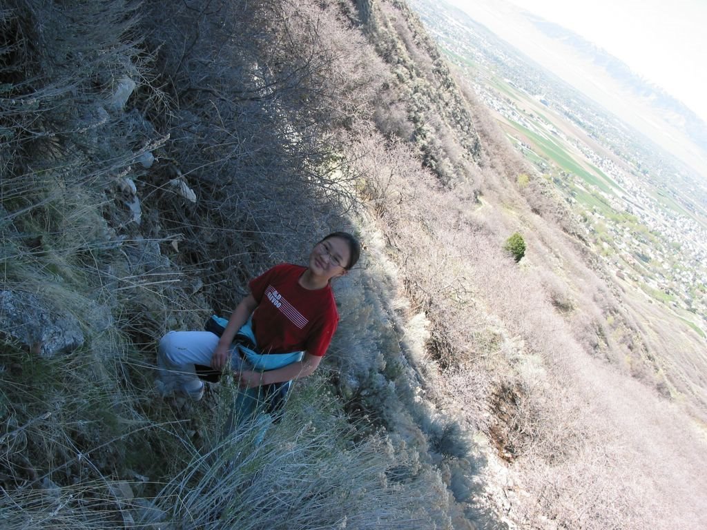
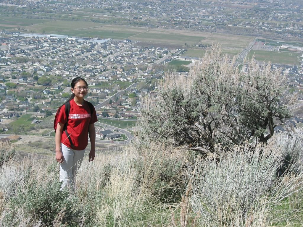
Today(April 22nd, 2006), Margaret and me was hiking the Mount Mahogany which we see everyday from our home. Posted by Picasa


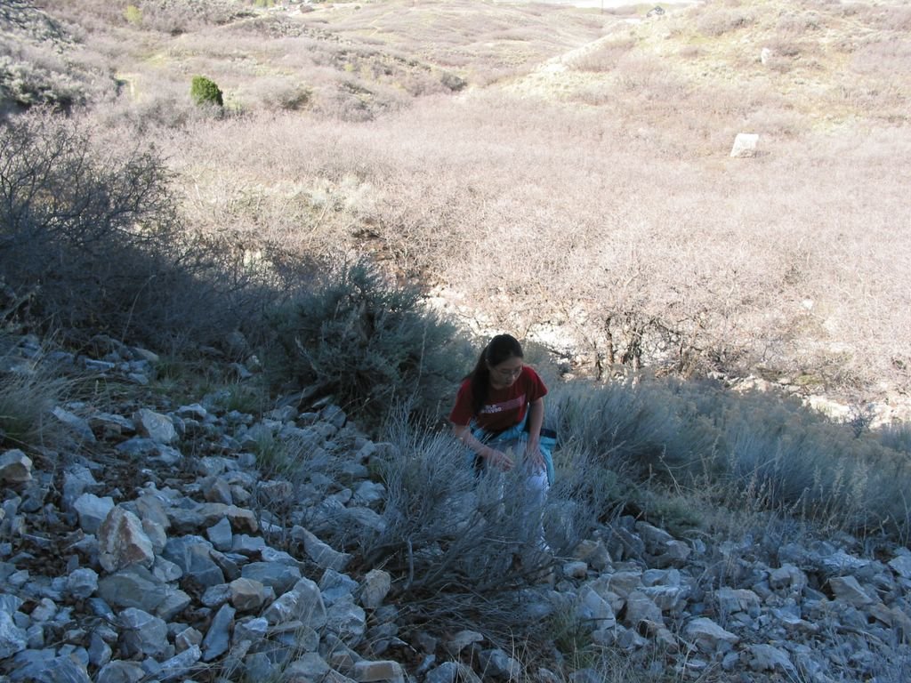
#2. Margaret is climbing up Mount Mahogany... Posted by Picasa


#3. Margaret had a break... (Mount Mahogany Hiking) Posted by Picasa


#4. Yeee... Margaret reached a view point...(Mount Mahogany Hiking) Posted by Picasa


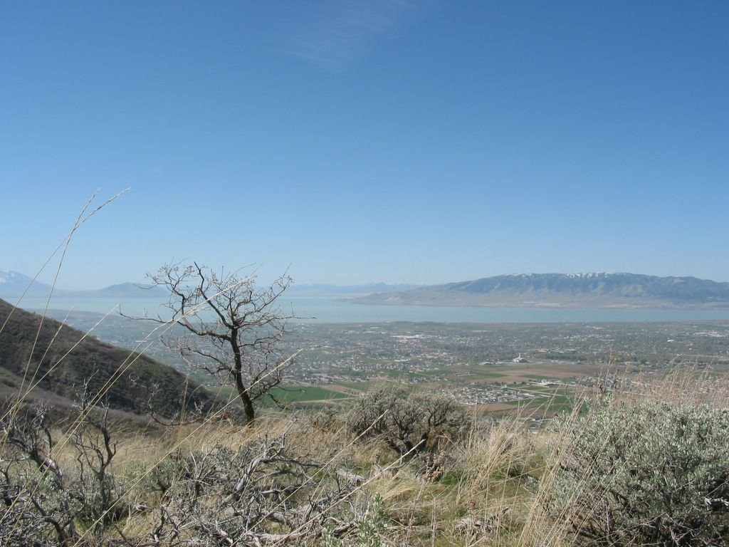
#5. View from a point... Background is Utah Lake. (Mount Mahogany Hiking) Posted by Picasa


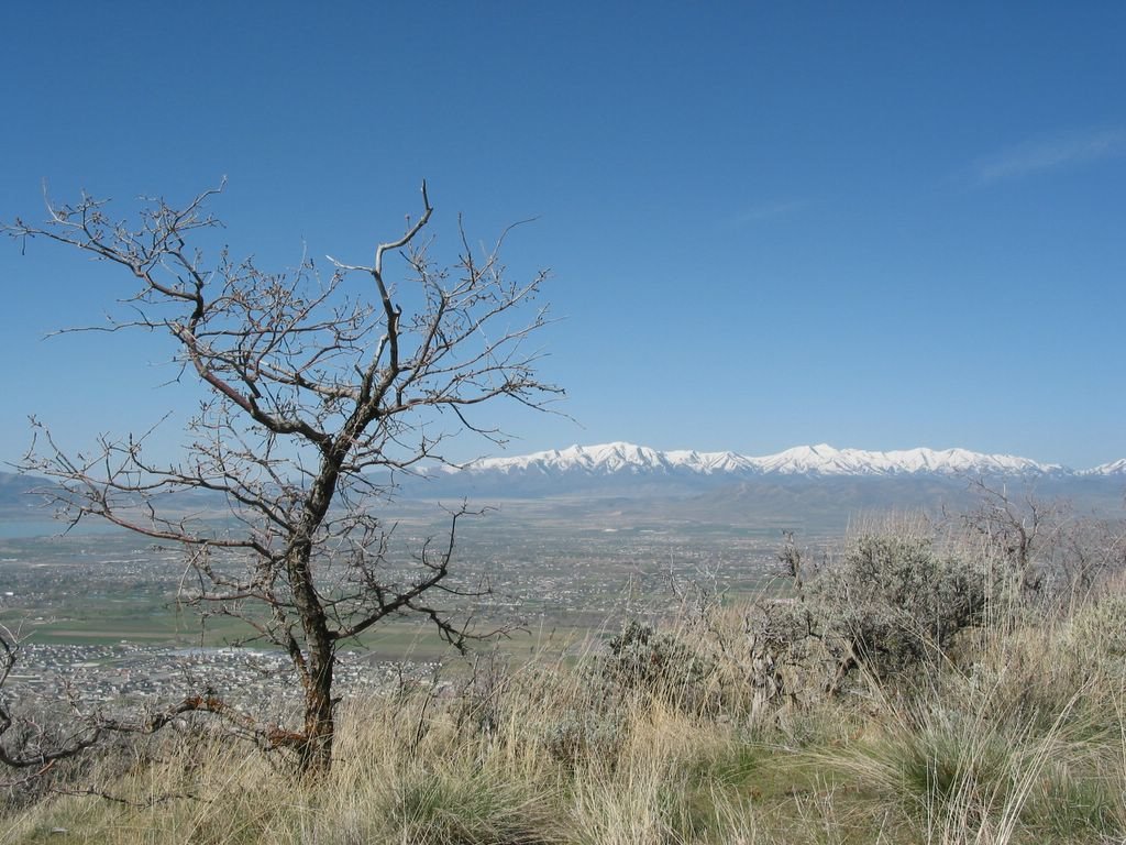
#6. View from a point... (Mount Mahogany Hiking) Posted by Picasa


#7. Margaret was having some snack... (Mount Mahogany Hiking) Posted by Picasa


#8. We are heading back home... (Mount Mahogany Hiking) Posted by Picasa


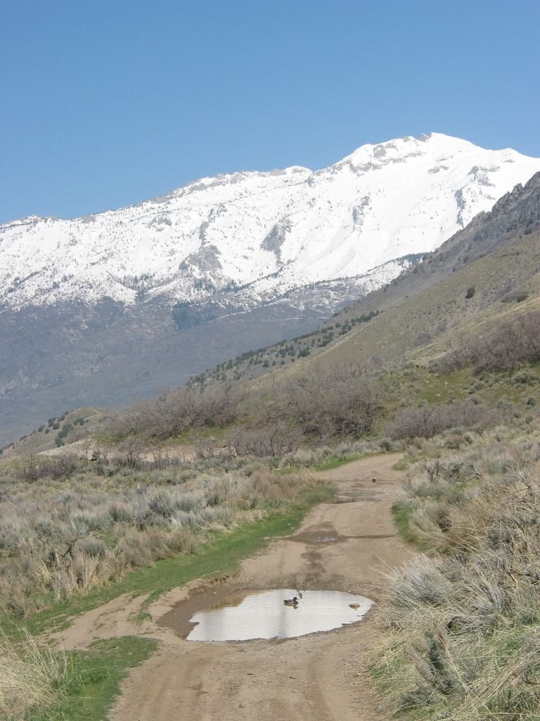
#9. There was a wild duck there in this puddle... (Mount Mahogany Hiking) Posted by Picasa


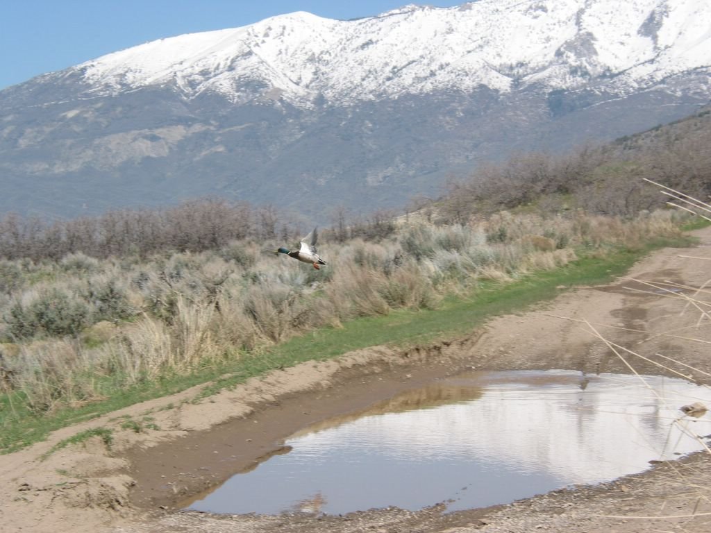
#10, When we aproached close, it was flying away... (Mount Mahogany Hiking) Posted by Picasa